IIT Ropar TIF (AWaDH)
Deep Tech R&D Driven Accelerator (TIH)
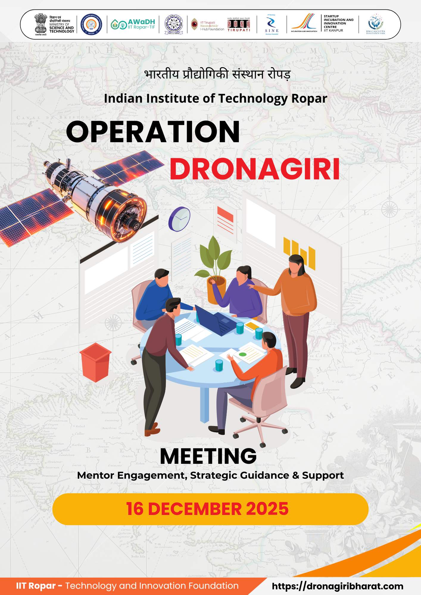
Operation Dronagiri is a strategic initiative under the National Geospatial Policy (NGP) introduced by the Department of Science & Technology (DST) in December 2022. The NGP aims to make India a global leader in geospatial technology by fostering innovation, liberalizing access to geospatial data, and driving economic and social development through the effective use of this technology. Operation Dronagiri, the first phase of the NGP implementation, is designed to demonstrate the tangible benefits of geospatial technology across three key sectors: Agriculture, Transportation & Infrastructure, and Livelihoods & Skilling.
Operation Dronagiri will be rolled out in November 2024 in six districts in five selected states: Varanasi in Uttar Pradesh, Sonipat and Gurugram in Haryana, Kamrup in Assam, Vizianagaram in Andhra Pradesh and Washim in Maharashtra. The initiative will focus on district-level implementation to ensure localized solutions and direct impact. Each district will serve as a pilot for deploying geospatial solutions to address sector-specific challenges.
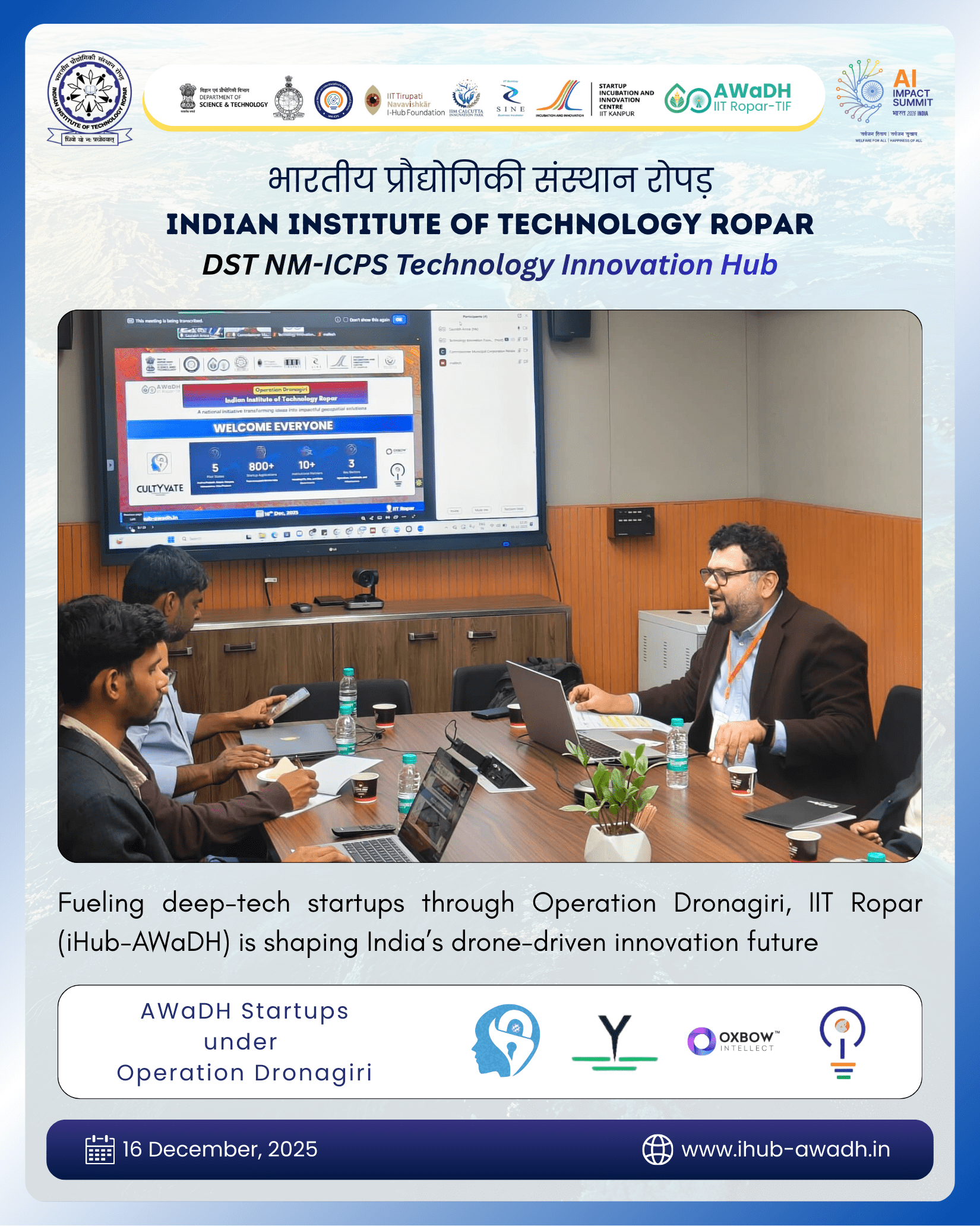
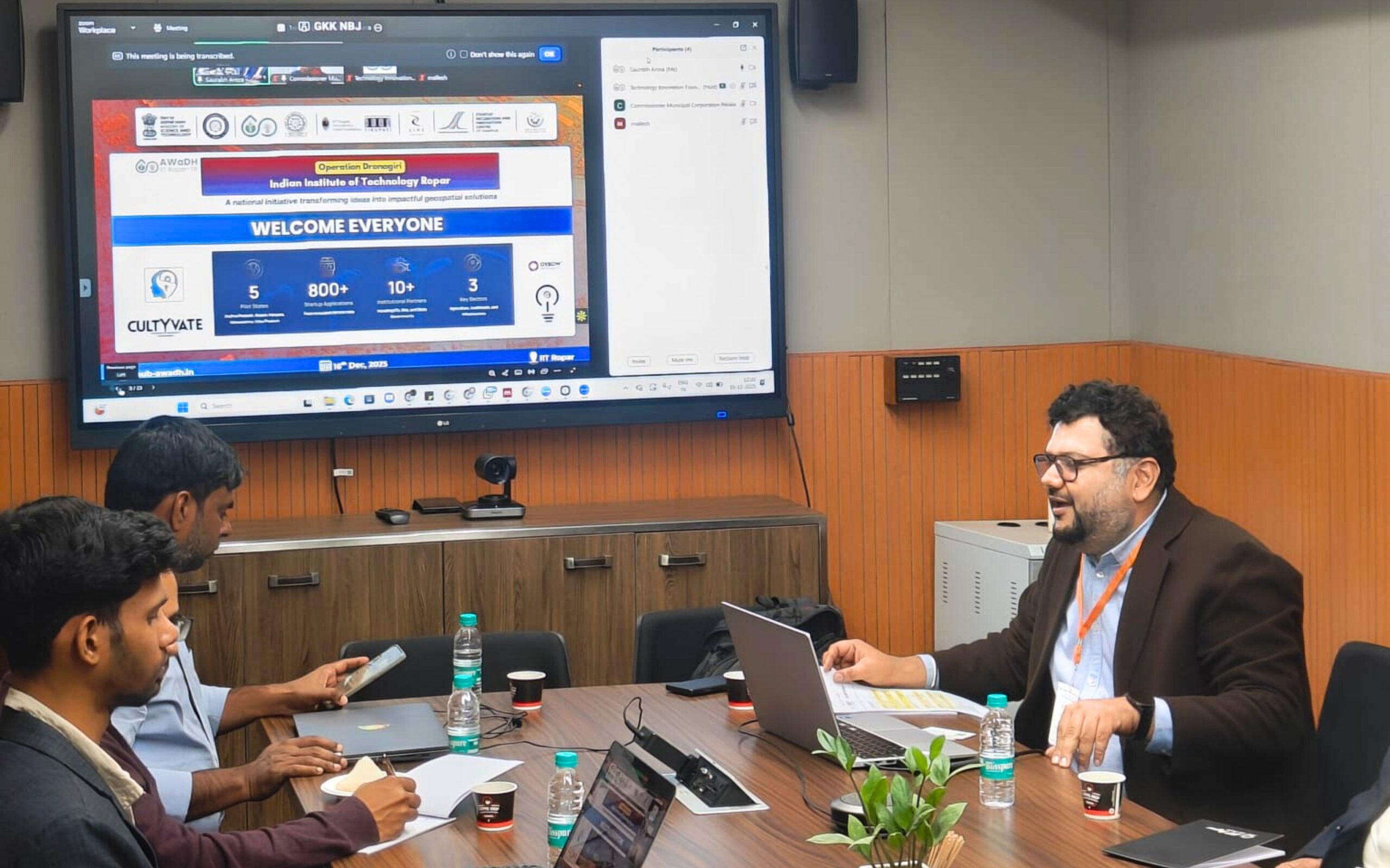
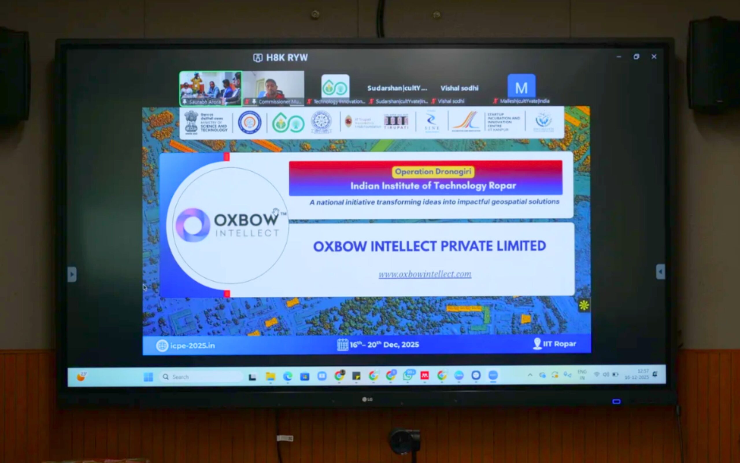
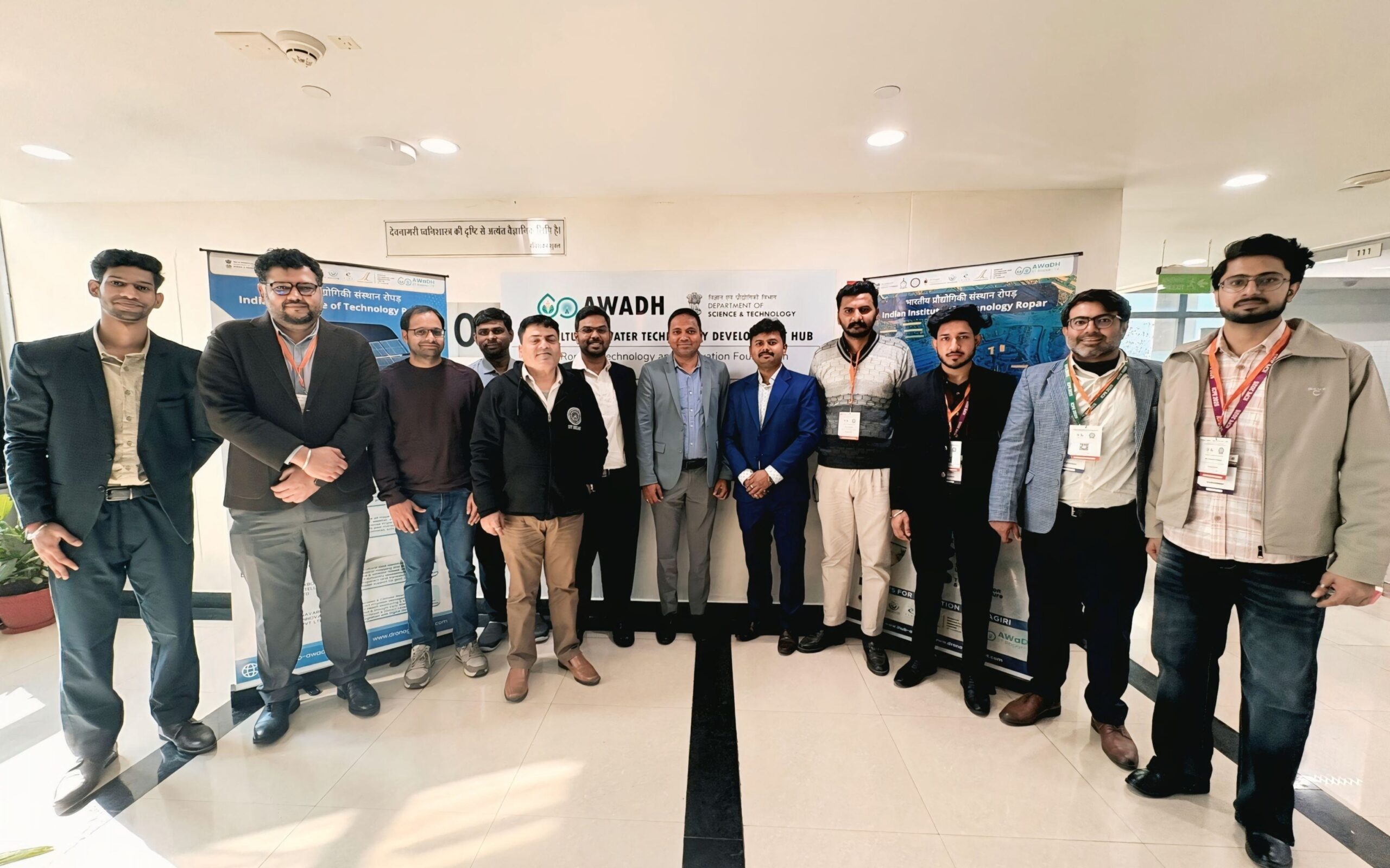
The Indian Institute of Technology, Ropar Technology and Innovation Foundation (TIF) – iHub AWaDH functions as a recognized Geospatial Innovation Accelerator (GIA) under Operation Dronagiri, playing a critical role in enabling startup-led geospatial innovation for governance applications. As a GIA, iHub AWaDH @ IIT Ropar provides structured institutional support to selected startups, facilitating mentorship, technical guidance, ecosystem enablement, and stakeholder engagement.
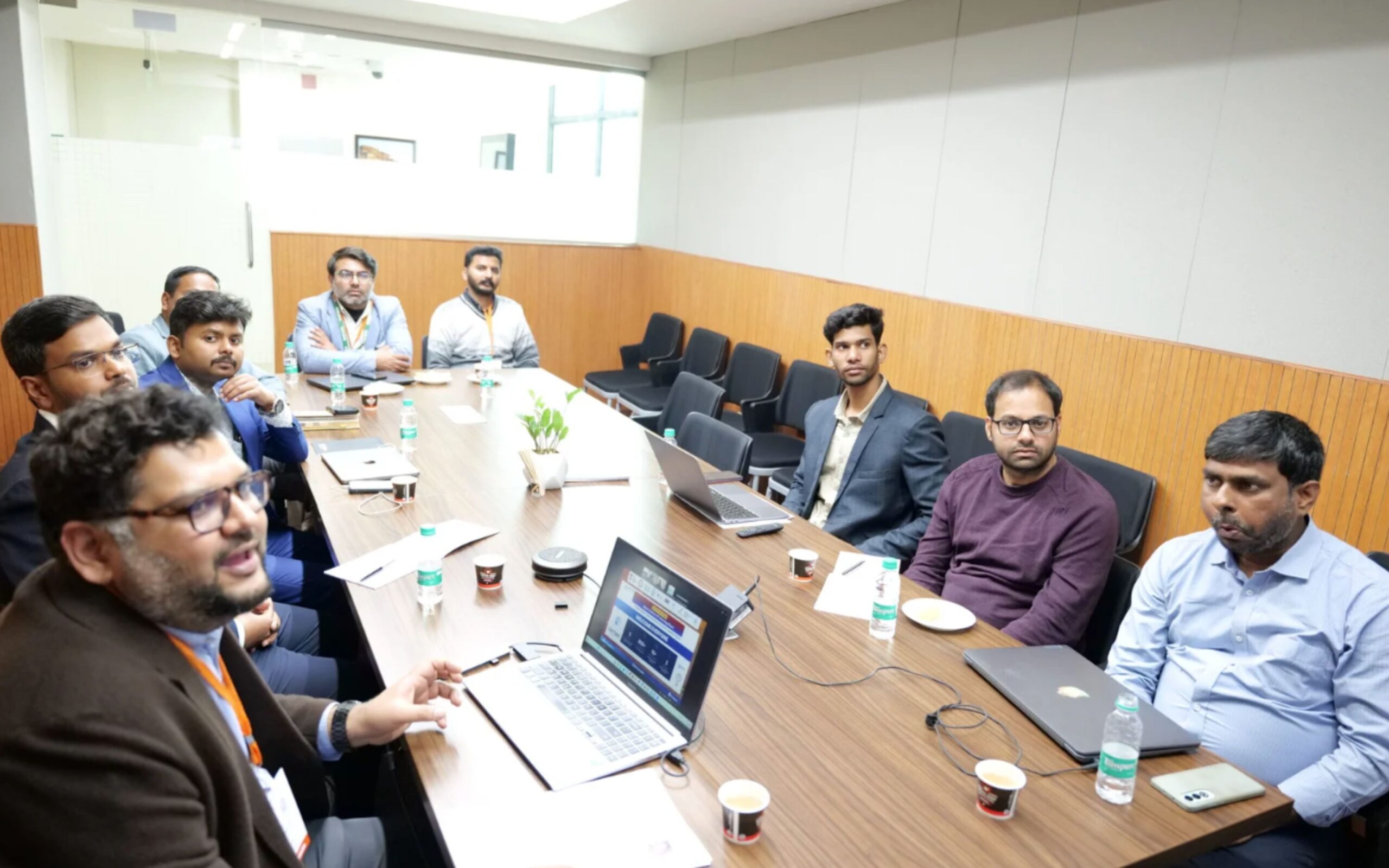
Through focused interactions and deployment-driven engagements, IIT Ropar TIF supports startups in translating drone-based mapping, geospatial analytics, and location intelligence into scalable and deployable solutions aligned with public-sector requirements. The GIA framework enables rapid prototyping, validation, data integration, and alignment with departmental needs, while addressing implementation challenges, scalability pathways, and institutional adoption.
Building a collaborative ecosystem for deep-tech entrepreneurship.


As a Geospatial Innovation Accelerator (GIA) under Operation Dronagiri, IIT Ropar (AWaDH) actively supports geospatial startups by enabling ecosystem engagement, technology acceleration, and strong government linkages.
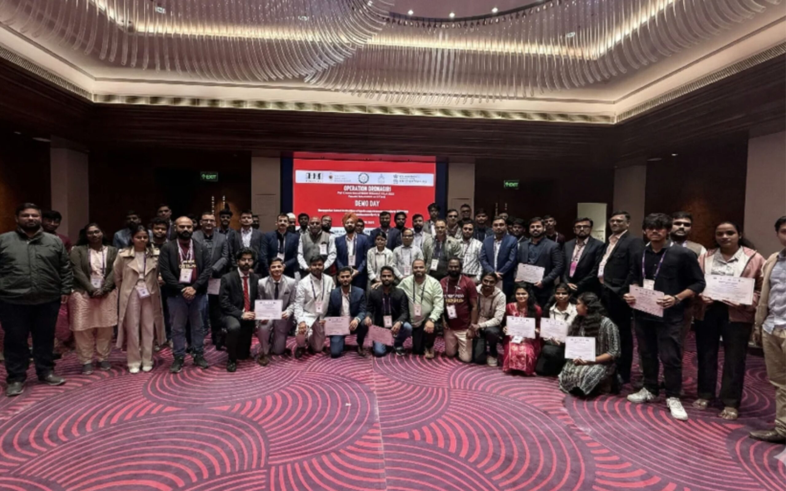
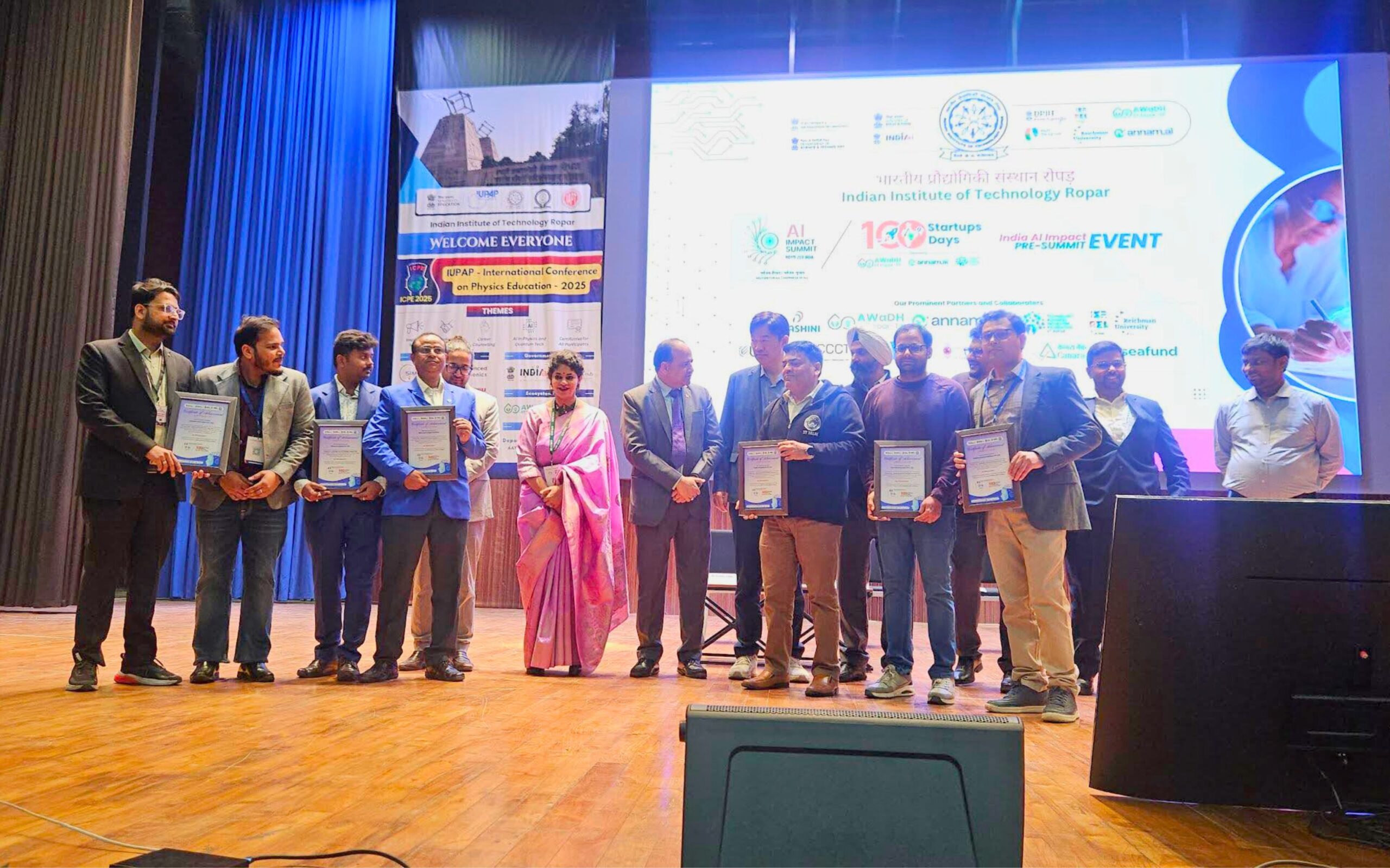
IIT Ropar – TIF (iHub-AWaDH) supports startups through participation in national-level initiatives such as 100S100D (100 Startups × 100 Days) and flagship events like the India AI Impact Summit. These platforms enable startups to showcase their innovations, validate solutions, and engage with a broad network of stakeholders.
Participation in the India AI Impact Summit provides startups with national visibility and exposure to policymakers, industry leaders, technology experts, and investors. The summit enables knowledge exchange, collaboration opportunities, and alignment of startup solutions with emerging priorities in artificial intelligence and digital transformation.
Together, these initiatives help startups accelerate adoption, refine their solutions, and scale innovations with measurable impact across governance, industry, and society.
IIT Ropar – TIF (iHub-AWaDH) facilitates time-to-time and continuous engagement with key stakeholders, including Central and State Government departments, industry partners, academia, and research organizations. These interactions help startups align their solutions with real-world requirements, governance challenges, and policy priorities, while receiving timely guidance and ecosystem support.